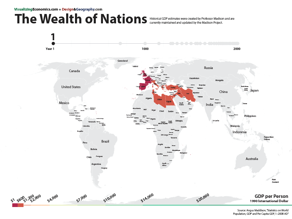
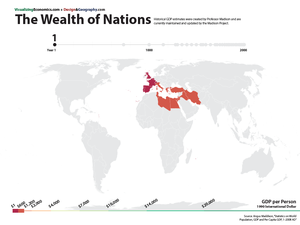
A collection of 30 maps based on the historical GDP estimates created by Professor Madison (and currently maintained by the Madison Project). Angus Madison, a British economist who specialized in measurement and analysis of economic growth and development, combined modern research techniques with his own extensive knowledge of economic history to pioneered the estimate of a country's wealth (e.g. GDP per capita) all the way to the year 1. The years I chose to map were picked because they had data for the greatest number of countries. However, before the 20th century, most places do not have enough financial records to estimate GDP per capita for every year. And it is often the wealthier areas which have the records. There are 3 sets of powerpoint slides of these maps which you can buy in my shop.